01
Facing Mt. Kilimanjaro
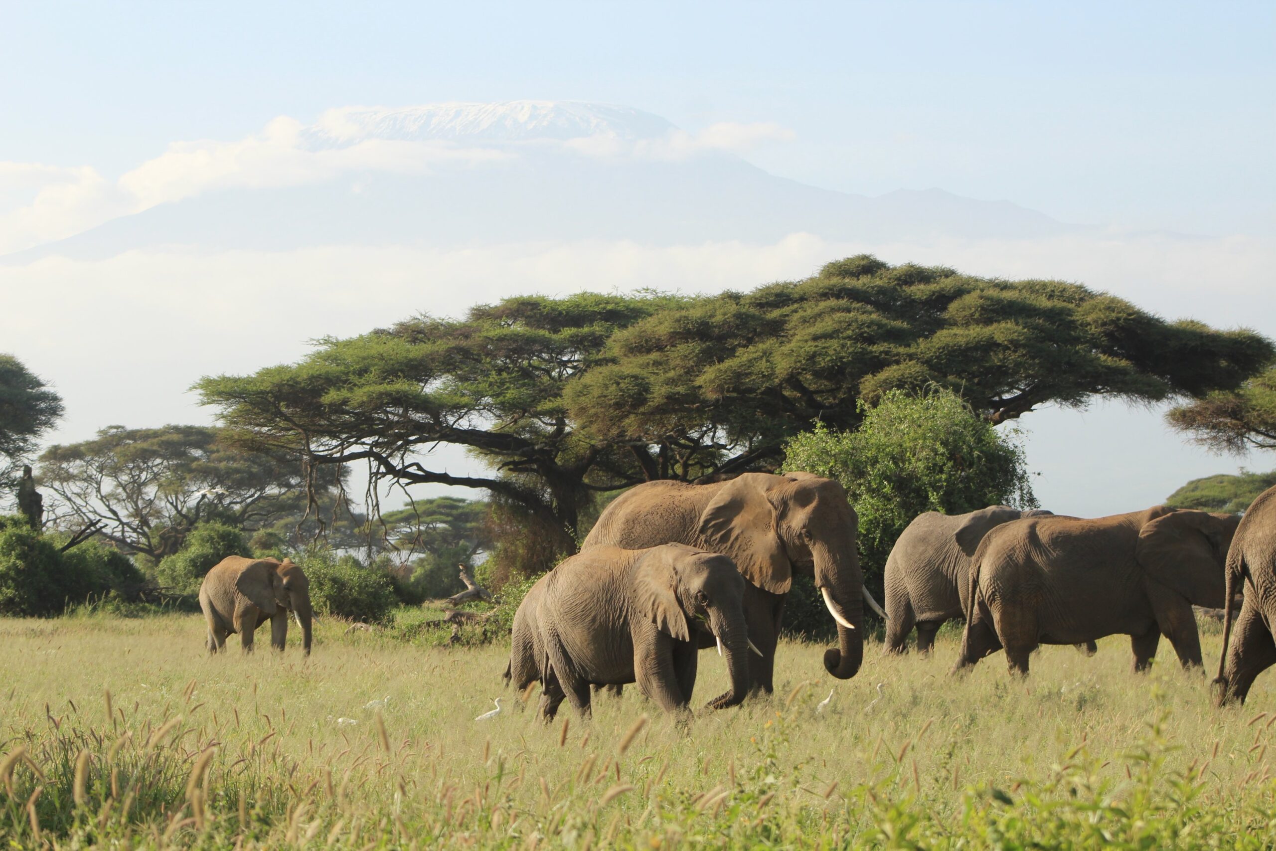
Tacked in the middle of a semi-arid Maasai land, Ol Doinyo Orok (Namanga Hill) is an oasis in the wilderness. It is 170km from Nairobi City and 22km south of Mt Longido on the Kenya-Tanzania border. From the hill, you can see Mt Kilimanjaro in the distance, which is the highest mountain in Africa. Adventurers call it the arrowhead, thanks to its pointed shape facing the north.
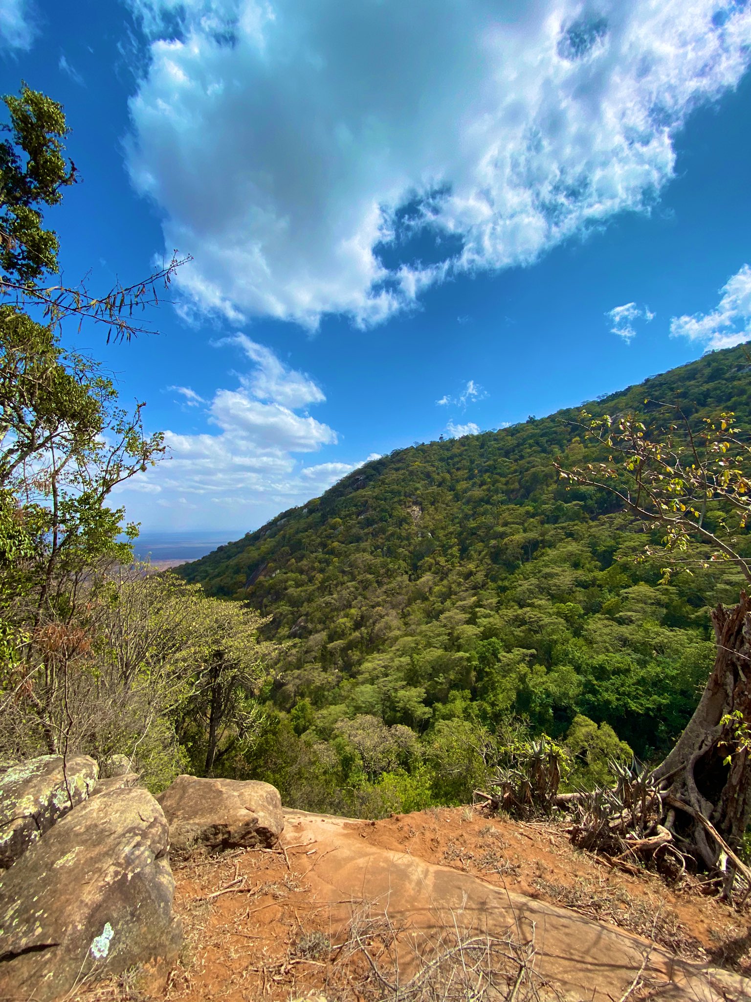
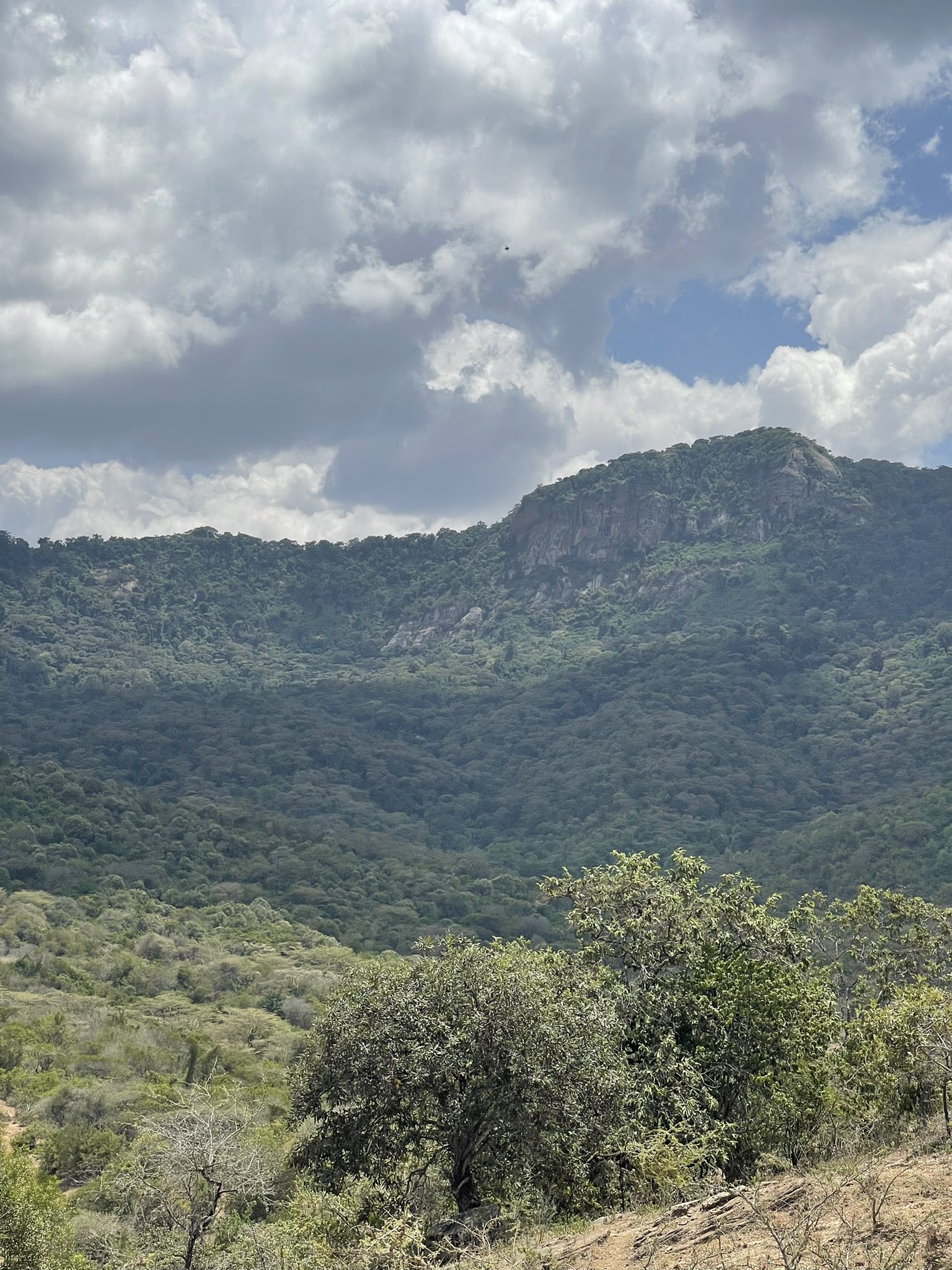
The hike is moderate-to-high rated, reaching a high of 2,548m above sea level. On a good day, you can cover the 14km of hiking in 6 hours, although it can stretch to 8 hours on a rainy day. The highlight of this experience is seeing Emuka Peak, going through the forest trail, and a visual of the Namanga Border and the rock boulders.
02
Beautiful Hill in the Desert
Ngare Ndare is 244km from Nairobi, taking close to 5 hours around famous Mt Kenya on the right. You can have stop-overs in Karatina and Nanyuki towns to catch a breather before delving deep into the hike. For a person going northwards, you have lots of sight-seeing to do. The Aberdare Ranges on the left horizon remind you of the trips early in the year.
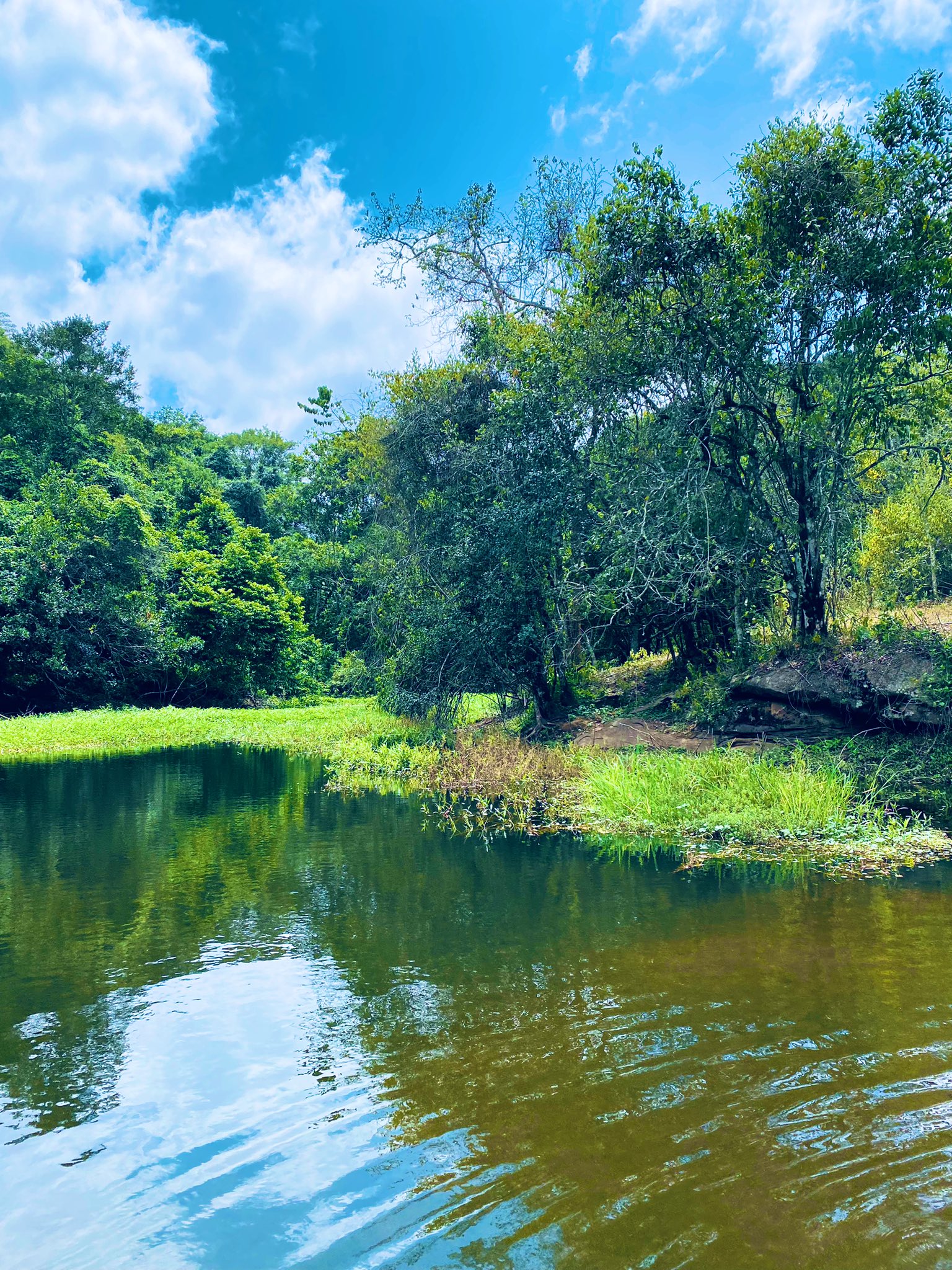
There is also 11 km off the main road on a rough road towards Ngare Ndare Forest Gate, which is the hiking destination. On arrival, you meet a KFS guard who will take you around the park. The 7km trekking deep into the forest can be dangerous but fulfilling. The attraction points in the hike are the 7 waterfalls. Actually, the name Ngare Ndare means “waterfalls of the gods.” The 450m canopy walks in the trees are also breath-taking, creating a relaxing atmosphere for an excursion. Compared to other hiking destinations, the Ngare Ndare is the easiest in the pack. There is no steep climbing, harsh weather or rocky terrain. In fact, you can swim in some of the waterfalls and enjoy the freshness of nature. Besides the waterfalls, you can also catch a glimpse of wildlife within the forest, but different species of birds are more prevalent. Other activities include biking and camping. However, since ours is a normal hike, we dwell on the waterfalls, canopy walks and sight-seeing.
The Weather
As an oasis, the weather is generally cooler and climate-friendly, although it gets wet sometimes. In July, it is during the long rainy season. We expect rain and wet conditions, which require you to plan appropriately. However, you can carry some light clothes if the weather turns out friendly.
What to Carry Along
- Foot ware – good hiking boots to scale the rocky terrain, steep climbs and wet ground. Gumboots could do, although not as much as hiking boots.
- Clothes – dress light; breathable hiking pants and a polyester t-shirt. However, carry something warm for the night, and if possible, another pair of clothes.
- Hiking supplies – get enough water, at least 2 litres in a refillable bottle. Snacks, sunscreen, sunglasses and a torch.
- Fitness – the Kimakia trail is easy, apart from the steep ascends along the river. A light warm-up before the hike is sufficient.
Gallery
Milestones
We are passionate about discovering trails not just in Kenya, but also in other breathtaking locations. Our goal is to conquer mountains, marvel at waterfalls, delve into forests, and immerse ourselves in thrilling adventures.


