01
Journey
into the Northern Rangelands
The journey takes you around Kenya, experiencing the magical Mount Kenya on the way and other sceneries. From Timau, you overlook the Samburu rangelands as you come down to Isiolo town. If you have a good camera, such snapshots are livid, showing you the two opposites of Kenya. Nairobi to Bufallo springs in Isiolo is a 300km journey, taking approximately 5 hours and 30 minutes. If you leave early, you can witness the sun’s rays on the Mt Kenya ice peaks. Going round through Nanyuki and Timau gives you 180º of the mountain ecosystem, coming out in the dry region around Isiolo. The journey involves several scenic sites before ending in the Northern Rangelands.
02
The Heart of Samburu….
.The first stop is Buffalo Springs, 28 km from Isiolo Town, where you can swim in the springs in the evening as you gaze at the rangelands on the horizon. The springs are an oasis in the middle of the northern arid lands. It is a perfect stop from the journey, where you can eat, relax and enjoy as you plan for an early morning hike to the Mt Ololokwe along the Isiolo – Moyale highway. We set camp at the Buffalo Springs, complete with a bonfire, supper and history of the locals. Although Isiolo is a pastoralist country, it borders agricultural countries like Meru to the South. It is, therefore, a transit county to the North (Samburu and Marsabit) and West (Turkana and Laikipia).
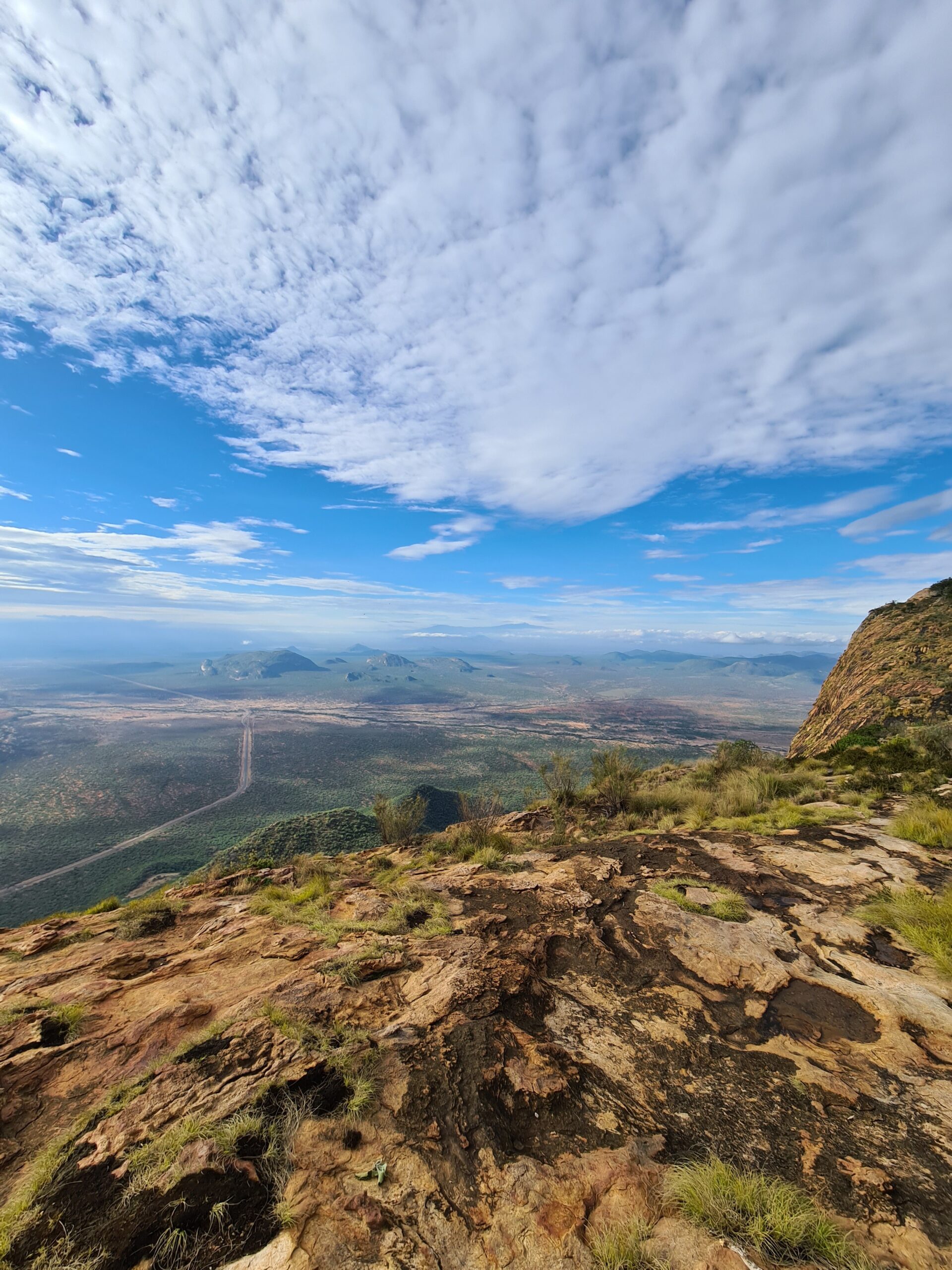
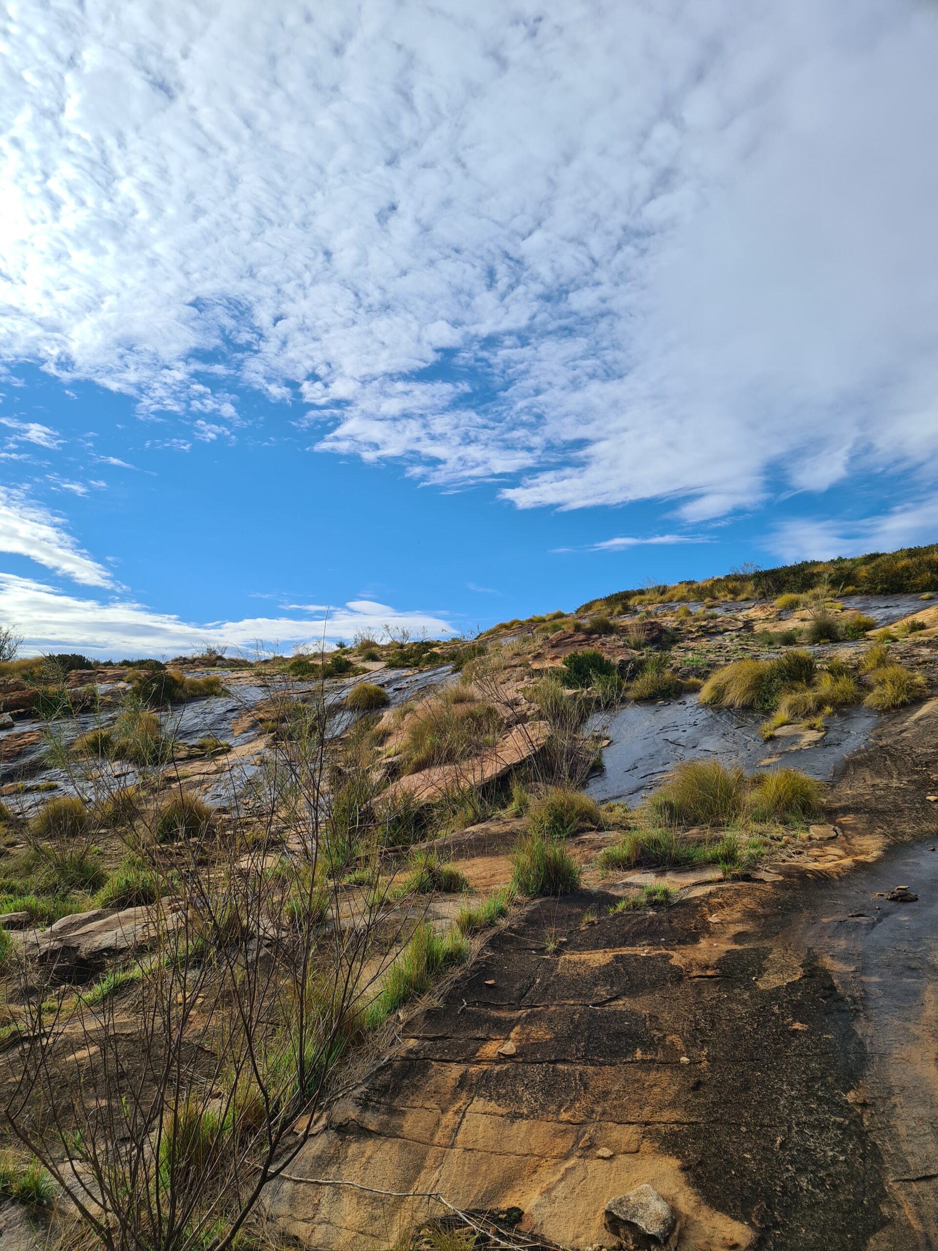
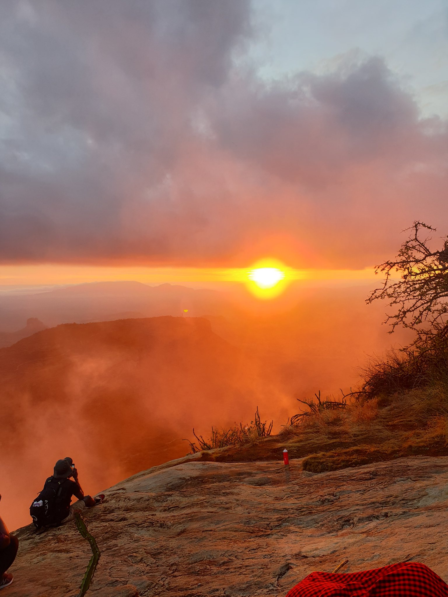
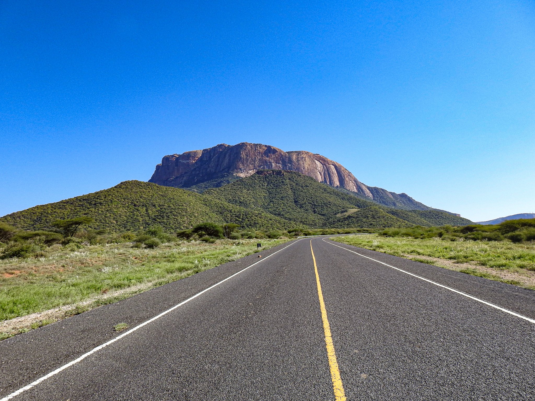
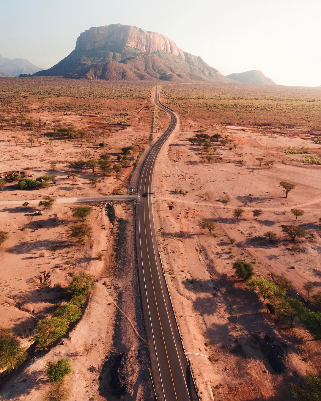
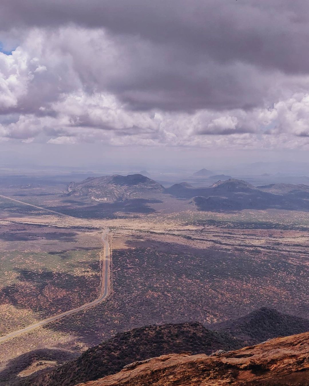
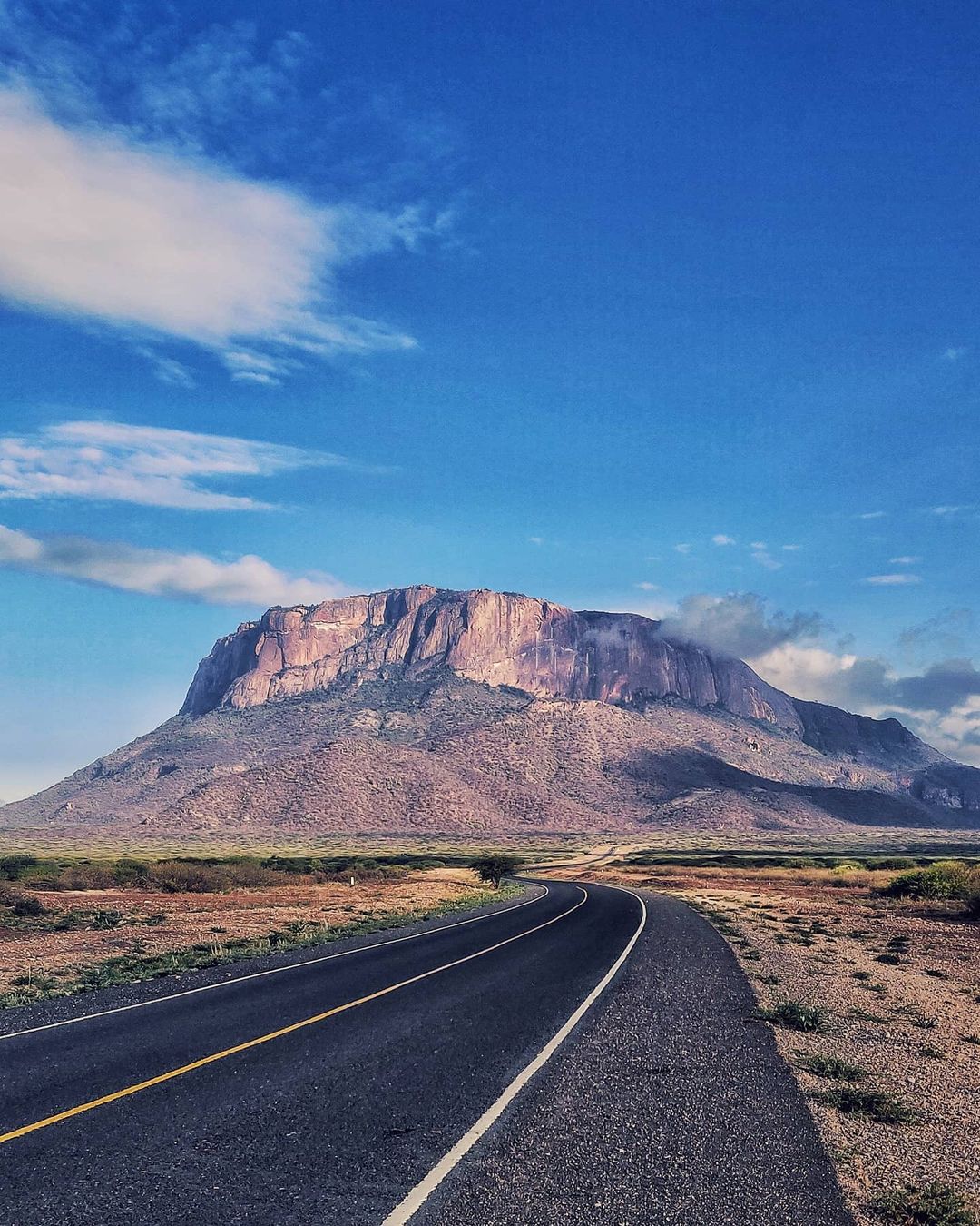
The journey to Mt Ololokwe should start early enough to cover 58km northwards along the Isiolo Moyale highway. It takes close to 1 hour to reach the mountain, deep into the Samburu National Reserve. The mountain stands majestically along the road, providing a scenic view of the northern rangelands, complete with a micro-climate. Leaving early allows the hikers to catch the sunrise on top of the mountain. Mt Ololokwe hike starts at the Sabache camp, surrounded by shrubs as you meander towards its top. You will occasionally meet elephant footprints from the highway as you make your way to the top. The journey takes 1 to 2 hours through rocky terrain with a maximum altitude of 2000m above sea level. You can see the highway, a beautiful horizon, and the vast Samburu National Reserve from the top.
The Weather
The area is part of the ASAL north, guaranteeing a warm climate throughout the experience.
What to Carry Along
- Foot ware – good hiking boots to scale the rocky terrain, steep climbs and wet ground. Gumboots could do, although not as much as hiking boots.
- Clothes – dress light; breathable hiking pants and a polyester t-shirt. However, carry something warm for the night, and if possible, another pair of clothes.
- Hiking supplies – get enough water, at least 2 litres in a refillable bottle. Snacks, sunscreen, sunglasses and a torch.
- Fitness – the Kimakia trail is easy, apart from the steep ascends along the river. A light warm-up before the hike is sufficient.
Gallery
Milestones
We are passionate about discovering trails not just in Kenya, but also in other breathtaking locations. Our goal is to conquer mountains, marvel at waterfalls, delve into forests, and immerse ourselves in thrilling adventures.

